- In Progress….
- 18 Stations over 13 miles
- 3 Days Effort
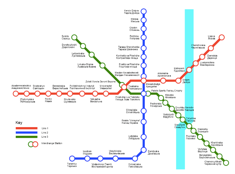
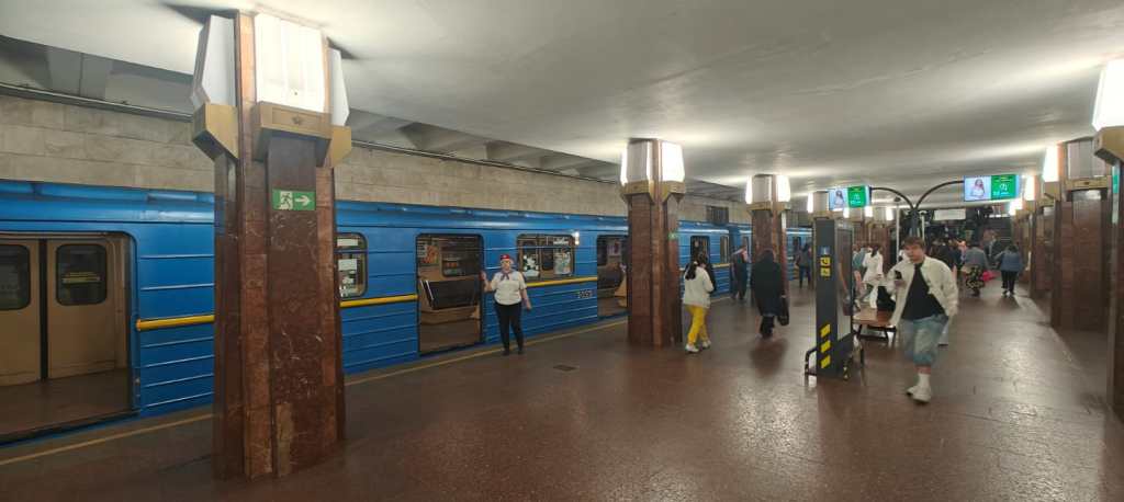
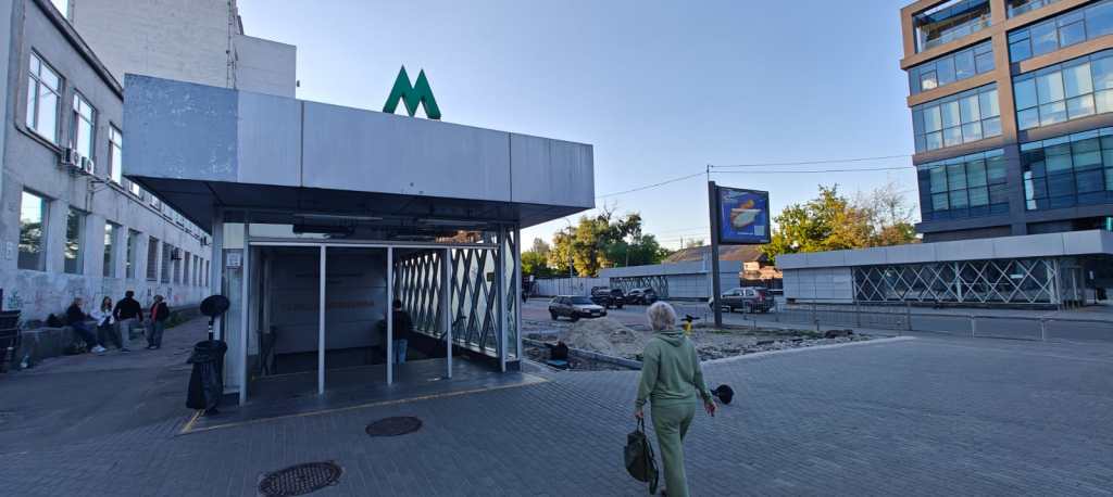
Also known as the The Obolonsko–Teremkivska line, the M2 line was first opened in 1976, and completed in 2013, the line extends northwards along the right bank of the Dnieper river and later deviated from the river towards the southwest. As the first stations were built in the 1970s and 1980s, architecturally the line shows some of the best examples of late-Soviet architectural features.
In the Soviet Era, the line only ran as far south as Palats Ukraina, with a future extension not build until 2010. A major extension of the line to the southwestern regions of Holosiiv and Teremky had long been planned but due to the difficult conditions under the Lybid River and financial shortages, all work was frozen in the early 1990s and partially completed sections were flooded.
Resumed in 2002, the project added seven stations. Demiivska, Holosiivska and Vasylkivska were opened 15 December 2010; after a delay of two years because of lack of funds. Vystakovyi Tsentr was opened 27 December 2011. The final stage included the stations Ipodrom and Teremky which brought the line along the Akademika Glushkova avenue past the Kyiv Ring Road. The line was eventually completed in 2013.
STATION NAME CHANGES DUE TO UKRAINIAN INDEPENDENCE AND SUBSEQUENT GEOPOLITICAL TRANSITION:
| Station | Previous name(s) | Years |
|---|---|---|
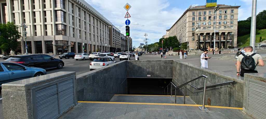
| Maidan Nezalezhnosti | Ploshcha Kalinina | 1976–1977 |
| Ploshcha Zhovtnevoii Revolutsii | 1977–1991 | |
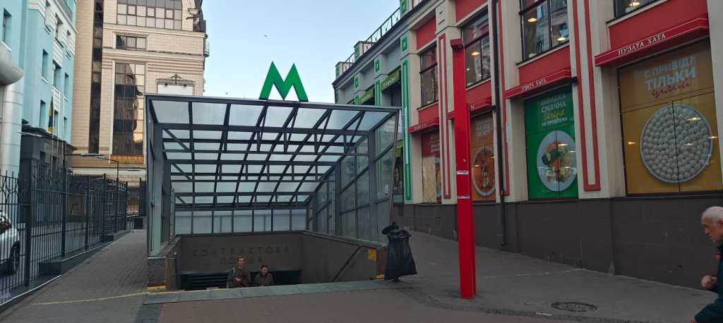
| Kontraktova Ploshcha | Chervona Ploshcha | 1976–1990 |
| Obolon | Prospekt Korniichuka | 1980–1990 |
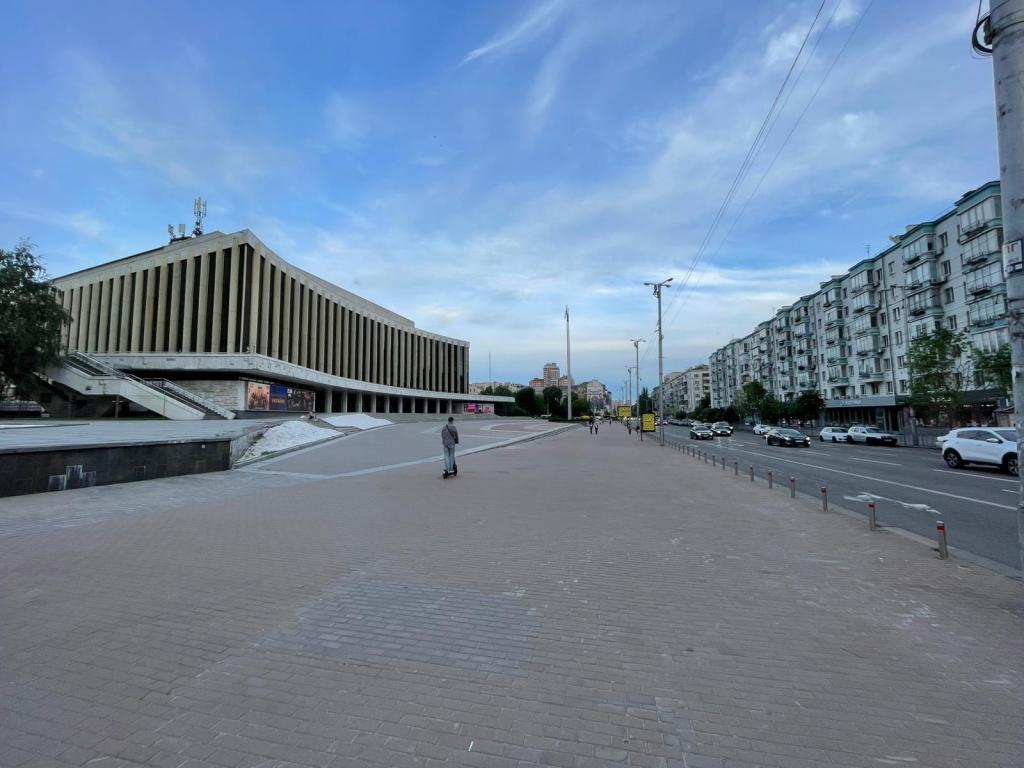
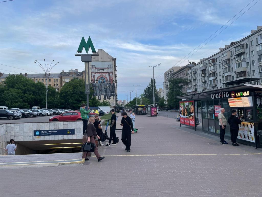
| Palats Ukraina | Chervonoarmiiska | 1984–1993 |
| Lybidska | Dzerzhynska | 1984–1993 |
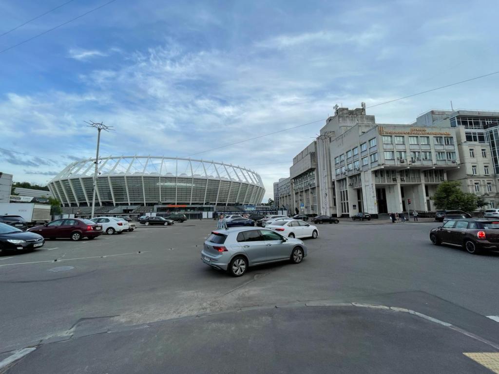
| Olimpiiska | Respublikanskyi Stadion | 1981–2011 |
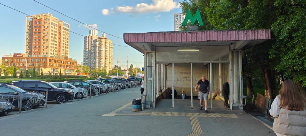
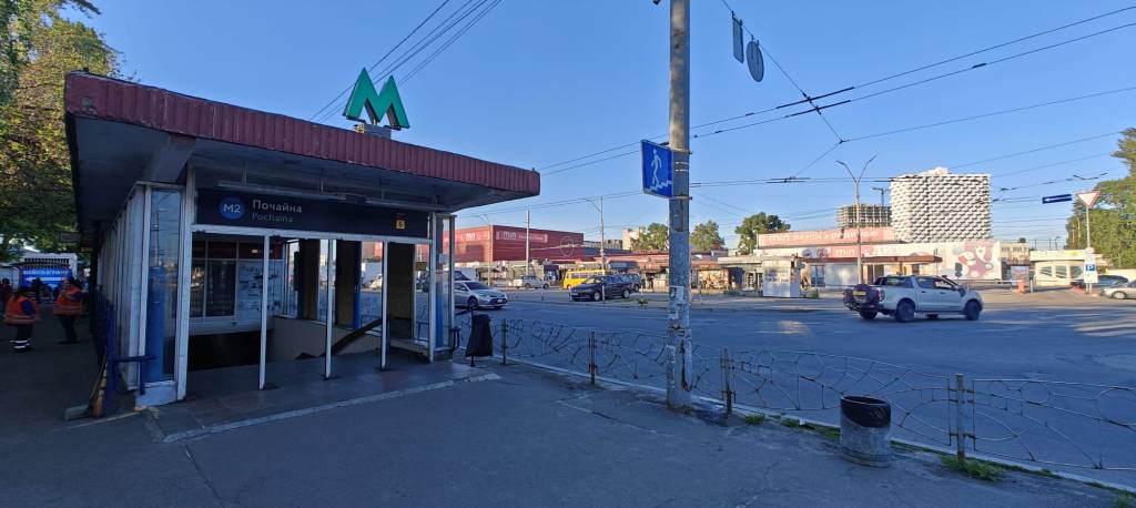
| Pochaina | Petrivka | 1980–2018 |
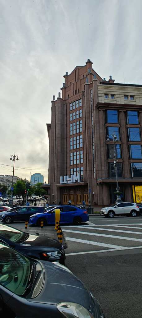
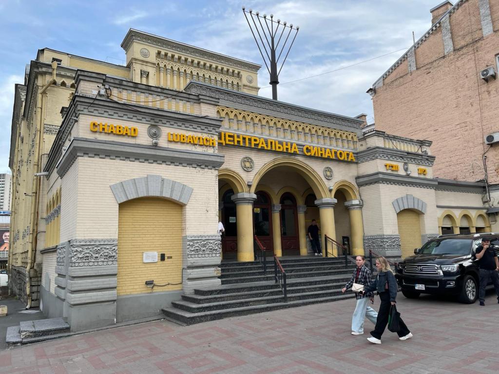
| Ploshcha Ukrainskykh Heroiv | Ploshcha Lva Tolstoho | 1981–2023 |
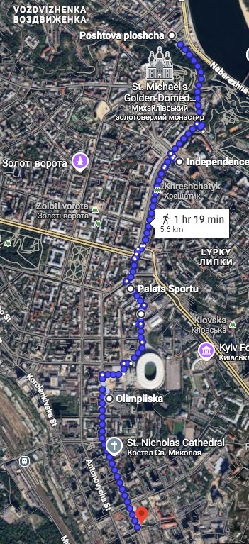
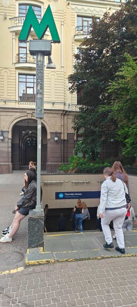
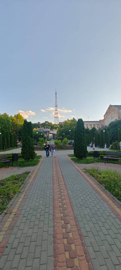
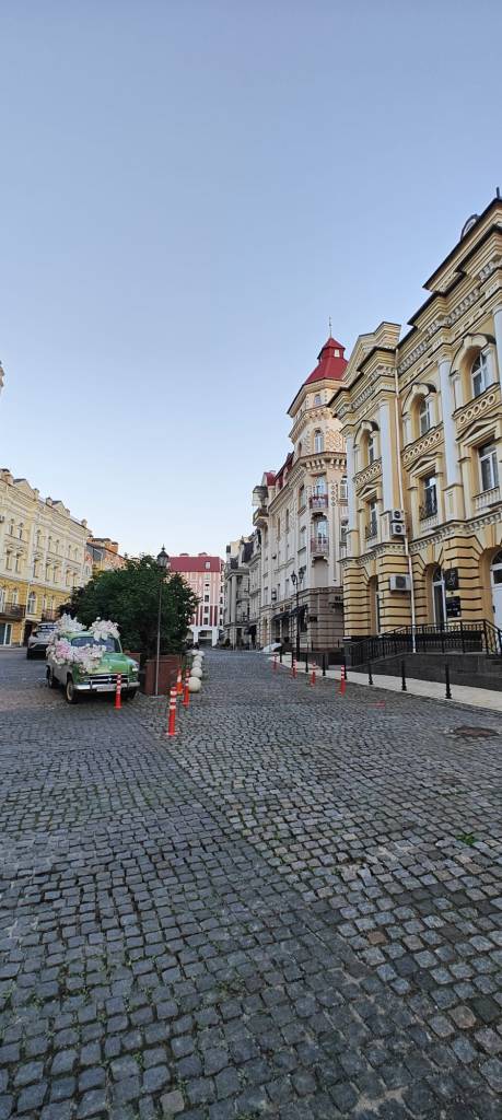
Day One – 1st June 2026 – 6.5 Miles – Heroiv Dnipra to Poshtova Ploscha


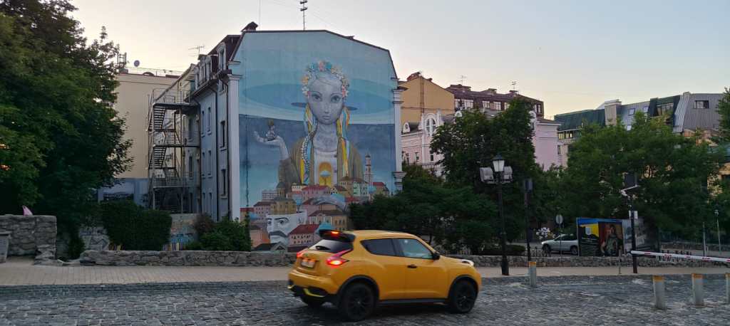
Day Two – 2nd June 2026 – 3.5 Miles – Poshtova Ploscha to Palats Ukraiyina